Events > Geographic Information System (GIS) Day
Celebrate GIS Day! November 19, 2025
GIS Day was initiated in 1999 by geographic information systems (GIS) global market leader, Esri, to be an annual event celebrating GIS technology and the power and potential that it has to solve problems. Esri president and co-founder Jack Dangermond credits Ralph Nader with being the person who inspired the creation of GIS Day envisioning a grassroots effort open to everyone to participate.
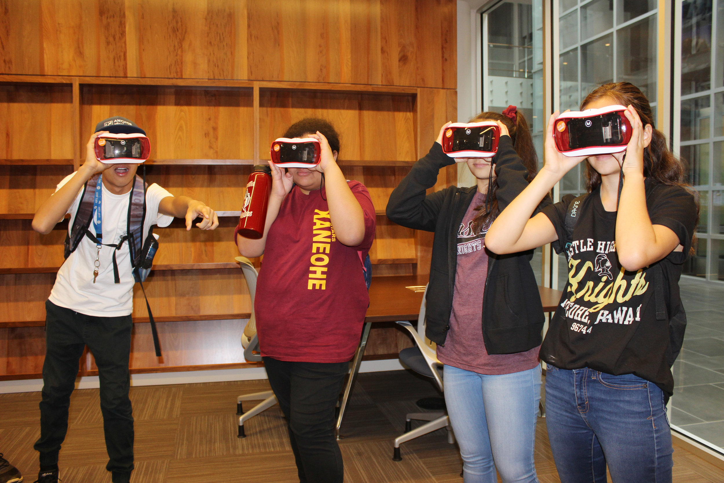
STEMworks partners with the Hawai'i Geographic Coordinating Council (HIGICC) to bring this "mappiest" day of the year to Hawai'i students. GIS professionals engage students with hands-on, interactive geospatial activities, such as Science on a Sphere, the Giant Traveling Map, VR with Google Earth, GPS Treasure Hunt and more, allowing students to explore the power, fun and excitement of GIS. Students learn how prevalent GIS is in communities and careers and discover the many GIS career pathways in Hawai'i as they network with professionals during 5x5. In 2020, we went virtual and brought our students and teachers hands-on activities to get them started using ArcGIS Online, Dashboards, and Lidar data!
Hawai'i schools interested in unlocking the power of GIS in their schools can apply for free Esri software and training. Email katie@medb.org to learn more.
For more information on GIS Day and/or getting your class setup with ArcGIS, contact:
Katie Taladay, katie@medb.org, 808.429.5745
GIS Day 2020 Vimeo Showcase
*Are you a teacher who would like the pdf activities from GIS Day 2020? Please email katie@medb.org to request them.

“I learned and gained more knowledge about the latest technologies today. I think I am more prepared for college with the help of this program. I learned to be more confident with myself and my ability to accomplish projects I start.”